
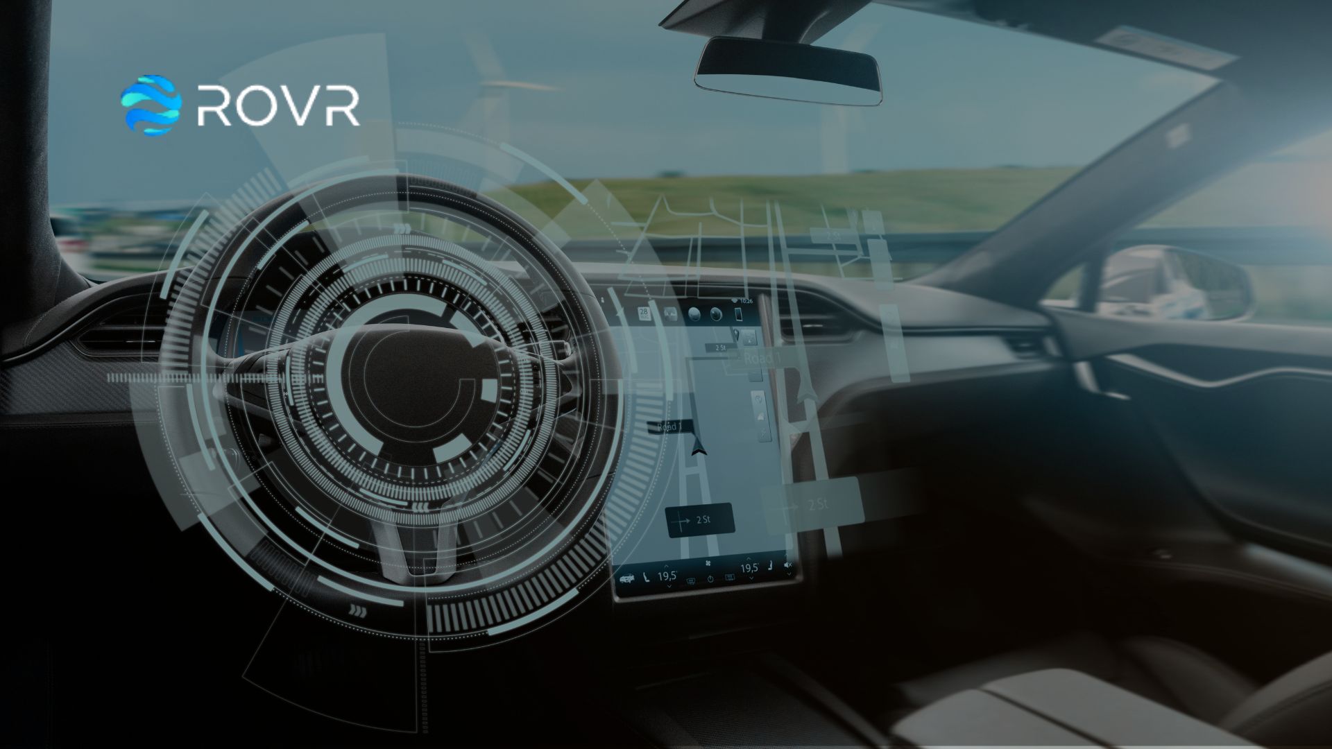

ROVR, a leading decentralized physical infrastructure network (DePIN), announced the launch of the ROVR Open Dataset at the ADAS & Autonomous Vehicle Technology Summit North America on August 22, 2025. This high-resolution, multi-modal dataset, accessible at booth 4030, is designed to fuel innovation in spatial AI, autonomous driving, robotics, and digital twin applications. By providing open access to real-world 3D data, ROVR aims to empower researchers and developers to build safer and smarter AI systems.
ROVR launches Open Dataset with 1,300 clips (1TB) for non-commercial use.
Includes LiDAR, video, IMU, and RTK data from urban and highway settings.
Data collected via ROVR’s global network of 2,000+ devices, covering 25M km.
Aims to advance spatial AI, autonomous driving, and robotics innovation.
Anonymized dataset ensures privacy; future versions to include commercial options.
Announced at ADAS & Autonomous Vehicle Technology Summit, booth 4030.
The ROVR Open Dataset provides a rich collection of synchronized data, including LiDAR point clouds, high-resolution video, IMU motion data, and centimeter-level RTK, gathered through ROVR’s custom hardware and global contributor network. The initial release comprises 1,300 clips, totaling 1TB, spanning diverse environments such as urban, suburban, and highway settings, with conditions like construction zones, school crossings, and dense traffic. All data is anonymized to ensure privacy, making it a valuable resource for researchers and developers.
“Spatial AI is the next frontier of artificial intelligence,” said Guang Ling, Founder of ROVR. “By making real-world, multi-modal driving data openly available, we aim to empower researchers and developers worldwide to build safer, smarter, and more generalizable AI systems.” The dataset supports applications in autonomous driving, robotics, and digital twins, fostering advancements in AI systems that interact with the physical world. Released under a permissive license for non-commercial use, future versions will include full sequences, annotations, and commercial licensing options.
ROVR’s community-powered network has deployed over 2,000 devices worldwide, achieving 25 million kilometers of road coverage. This decentralized approach transforms everyday vehicles into intelligent 3D mappers, democratizing access to high-fidelity data. Posts on X highlight the dataset’s role in powering autonomous driving and spatial AI, reflecting strong community enthusiasm for ROVR’s DePIN model. The launch aligns with ROVR’s mission to foster collaboration and accelerate responsible AI development.
The dataset’s unveiling at the ADAS & Autonomous Vehicle Technology Summit North America underscores its relevance to the autonomous vehicle ecosystem. Held at the San José McEnery Convention Center, the summit features industry leaders like Waymo and Zoox, discussing AI and autonomous driving advancements. ROVR’s dataset positions it as a key contributor to this ecosystem, supporting scalable, real-world data solutions for next-generation technologies.
ROVR’s Open Dataset launch marks a significant step toward democratizing access to real-world 3D data, empowering innovation in spatial AI, robotics, and autonomous systems. With its global network and commitment to collaboration, ROVR is poised to shape the future of AI-driven technologies, delivering safer and smarter solutions for the physical world.
ROVR is the cornerstone of Spatial AI — a decentralized network that transforms everyday vehicles into intelligent 3D mappers of the physical world. By collecting, structuring, and distributing large-scale 3D data, ROVR supports applications across AI, robotics, autonomous navigation, and beyond.


TechIntelPro empowers B2B technology decision-makers with the latest industry trends, deep insights, leadership perspectives and actionable intelligence to drive both organizational and professional milestones—and thrive on the tech pulse.